
Kolkata → Netarhat: Biker Route Plan & Rider Guide
A scenic, ride-friendly road trip for motorcycles — route options, map, places to see and biker tips for a safe, fun run to Netarhat (Jharkhand).
Quick overview
Approx. road distance: ~510–560 km (one-way). Typical driving time: ~8–13 hours depending on route, traffic and stops — expect a long day or split into two riding days.
Map & route
If the inline map doesn’t display in your editor, Open route in Google Maps.
Recommended driving corridor (for bikers)
A commonly used and rider-friendly corridor is via NH19 / Asansol → Purulia → Muri → Ranchi → Netarhat. This route uses major highways for long stretches then scenic hill roads approaching Netarhat; many riders and travel writeups recommend this general line. Plan for fuel and rest stops at major towns (Asansol / Dhanbad / Ranchi).
Suggested 2-day biker itinerary (safe & relaxed)
- Day 1 — Early start (Kolkata → Asansol/Purulia area): start before dawn, cover the long plains highway section, stop often to stretch. Stay overnight near Purulia/Asansol if you want a relaxed ride.
- Day 2 — Purulia → Ranchi → Netarhat: you’ll hit hillier, twisty roads near Ranchi and the final ascent to Netarhat (arrive before sunset for viewpoints).
Tip: If your group is fast and you’re confident, the whole trip can be done in one long day — but for safety (and to enjoy viewpoints) we recommend splitting it.
Top places to visit in & around Netarhat (bikers will love these)
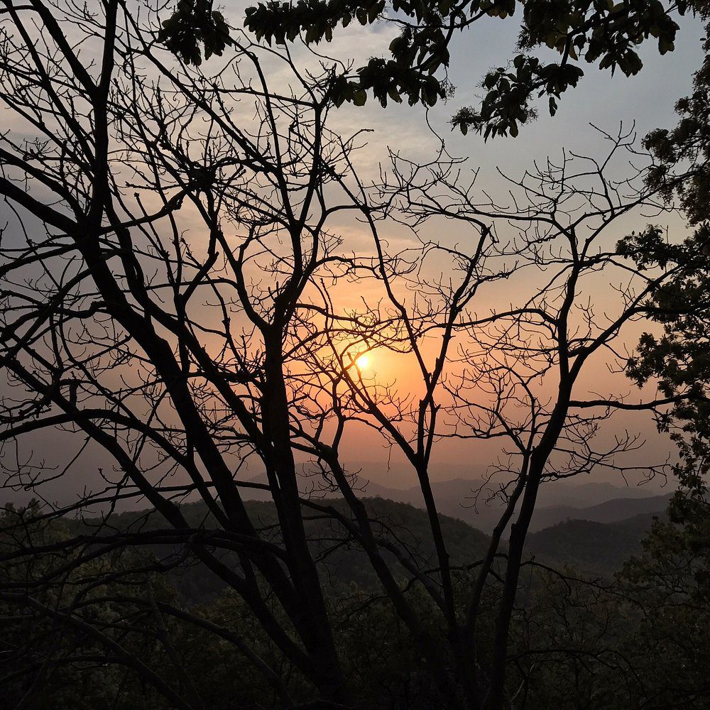
- Magnolia (Sunset) Point — iconic sunset views and panoramic hills. :contentReference[oaicite:3]{index=3}
- Netarhat Sunrise Point — famous for dramatic morning light and cool breezes. :contentReference[oaicite:4]{index=4}
- Upper & Lower Ghaghri Falls — short nature breaks; good for photos and a quick cooling dip (seasonal water flow). :contentReference[oaicite:5]{index=5}
- Pine forest & local trails — short walks and picnic spots near the hill station. :contentReference[oaicite:6]{index=6}
- Betla National Park (if you have extra days) — wildlife & jeep safaris, ~a few hours’ drive from Netarhat. :contentReference[oaicite:7]{index=7}
Biker-focused checklist & safety
- Service your bike (chain, brakes, tyre pressure) 24–48h before the ride.
- Carry a puncture kit, mini-toolkit, spare bulbs, and a small first-aid kit.
- Plan fuel: fill up in major towns (Asansol / Dhanbad / Ranchi) — fuel availability is consistent in larger towns; carry a half-litre spare if you’ll explore remote stretches.
- Ride in daylight on the hill stretch approaching Netarhat — some sections have blind curves and narrow lanes.
- Weather: best months Oct–Mar for clear skies; monsoon makes waterfalls spectacular but can add slipperiness to the roads.
- Carry physical ID, some cash (smaller towns may have limited card acceptance), and mobile power bank for navigation/phone.
Fast facts
From: Kolkata
To: Netarhat (Latehar district, Jharkhand)
Elevation of Netarhat: ~3,600 ft (hill station feel / cool climate)
Road distance (approx): 510–560 km (depends on chosen route). Plan for 8–13 hours riding time depending on stops and traffic. :contentReference[oaicite:8]{index=8}
- Group rides: keep staggered formation and a ride marshal.
- Check local news/traffic for bridge or diversion notices in WB/Jharkhand.
- Respect local speed limits and wildlife signage near forests.
Photos


Notes & links
Verify live road conditions and closures before you ride (fuel stops and local diversions may change). For detailed attraction info see Netarhat guides and TripAdvisor. :contentReference[oaicite:9]{index=9}